Posts

Showing posts from June, 2023

June 30th Central Minnesota Weather Discussion

Image
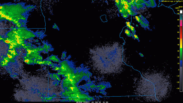
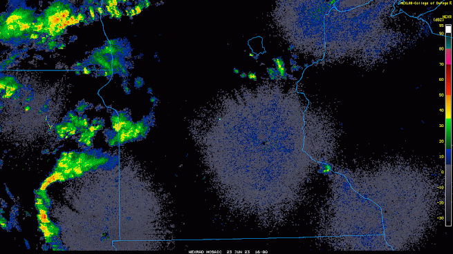
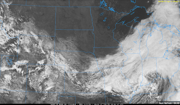
 June 30th Central Minnesota Wx Discussion By Aidan Cera Happy final day of June central Minnesota! Many folks are likely disappointed that we are already past the first month of summer and the summer solstice, which means days are getting shorter again and winter is on the way...but hey, you really don't notice the days getting shorter till August and temperatures start getting colder till September so we have a LONG ways to go till any of that :)  To be entirely honest, I'm not all that worked up about seeing the backside of this month because, from a weather perspective, this month has been horrible in terms of air quality, smoke and dry weather.    Figure 1. Climate Prediction Center United States drought monitor, updated June 27th 2023.  Unfortunately, drought has overtaken much of the Midwest and Great Lakes region this month as continuous anticyclonic blocking as kept any well defined troughs from advecting through the area from Canada. The Canadian wildfires have also k

June 28th Central Minnesota Wx Discussion

Image
 Central Minnesota June 28th Wx Discussion By Aidan Cera There have been quite a few changes in the forecast since last night so I am sorta glad I decided to put another weather discussion out before later today.  The syntopic pattern remains the same, a shortwave trough is advecting across Minnesota with a weak cold front accompanying it. Some broad ascent is currently aiding in shower and thunderstorm development near Lake Millacs up toward Duluth. This line of showers and storms will likely remain the main forcing area throughout the day which means the bulk of the forcing is already passing through or to the east. Considering this, I have decided to really lower those thunderstorm chances for this afternoon or completely take them out of the forecast altogether. In fact, it seems the counties with any remaining chance of storms is Benton, Milacs, Sherburne, Wright and Carver counties as that boundary makes its way through. Most mesoscale models however do not show much in terms of

June 27th Central Minnesota Weather Update

Image
 June 27th Central Minnesota Wx Update By Aidan Cera  Good evening central Minnesota! We just had another fantastic day of weather across central Minnesota with plenty of sunshine and relatively pleasant temperatures compared to what we were dealing with last week.  Things are once again going to get a little more interesting later on tonight through tomorrow as several shortwave troughs advect across Minnesota along the periphery of a ridge of high pressure to our south. While there won't be an appreciable frontal passages until Thursday, these shortwaves will provide enough broad scale synoptic ascent to kick off some showers and thunderstorms across central Minnesota over the next 24-36 hours. Some of these storms will even have the chance to be severe. Looking at current radar, we do have a band of light to moderate showers tracking across western and into the far southwestern discussion area of central Minnesota as of around 9:40 PM CST. I am also monitoring some heavier showe

June 23rd Central Minnesota Weather Update

Image
 June 23rd Central Minnesota Weekend Forecast By Aidan Cera The weather forecast for this weekend starting today is fairly complex and subject to much variation in terms of temperatures and rainfall amounts. These variations are leading to some margins of uncertainty with how warm highs temperatures will get which is further dependent on who gets rain and who doesn't. By tomorrow everyone is likely to see rain at some or multiple points in the day, but even then the question is how much does this rain impacts high temperatures and how much rain do certain areas receive. There really is not an easy answer to these questions therefore the high temperature ranges are a bit wider in this forecast. Fig 1. College of DuPage current radar valid at 1853Z June 23rd 2023. Starting with the current conditions, we do have some altocumulus clouds drifting across the skies indicative of mid level instability. Thunderstorms are also beginning to fire across central Minnesota but remain widely sca

June 19th Central Minnesota Weather Update

Image
 Central Minnesota June 21st Wx Discussion by Aidan Cera Fig 1. NWS watches, warnings, advisories map updated Wednesday June 21st at 12:31 PM CDT.  Good afternoon central Minnesota! It has been very hot this week across the area with some of warmest highs reached yet this summer. We have also been under an Air Quality Alert across most of Minnesota due to some ground level ozone accumulating at the surface. This Air Quality Alert is in effect until 9PM Thursday CDT. Folks with underlying health conditions such as asthma and COPD should be cautious when having to spend a longer duration of time outside.  Fig 2. GOES-16 Water Vapor imagery loop of the United States from around 1530Z to 1745Z June 21st 2023. Loop courtesy of tropicaltidbits.com . Looking at current water vapor satellite imagery, we can see some decaying thunderstorms across Kansas, Nebraska and the Dakotas. These thunderstorms are associated with a trough at the 250 mb level draped across the western United States extendi

Father's Day Central Minnesota Weather Update

Image
Central Minnesota June 18th Wx Update by Aidan Cera  Figure 1. NEXRAD Base Reflectivity for central Minnesota on June 18 2023 at 1420Z CDT.  WE HAD RAIN THIS MORNING!!!!!!!!!!!!!!!!!!!!!!!!!!!! After weeks of no rain, we finally saw some light but very beneficial rainfall across most of central Minnesota this morning. The rain has since come to an end, but there have been some widely scattered heavy showers across Kandiyohi and Sherburne counties but most places have not been touched by these hit or miss cells.    Figure 2. Weather Prediction Center 1800Z surface analysis for June 18 2023. In terms of surface analysis, we are still in the vicinity of a surface low to the south which is providing just enough lift to spark off those widely scattered showers and thunderstorms. This low is going to gradually weaken and drift east as the rest of today progresses into tonight. A good deal of cloud cover is expected to stick around behind the low as low level moisture is still firmly in place

June 16th Central Minnesota Weather Update

Image
 June 16th Central Minnesota Wx Update by Aidan Cera Figure 1. Climate Prediction Center U.S. Drought Monitor as of June 13th, 2023.  Good afternoon central Minnesota! I apologize for the lack of weather updates as of late. I started a new job this week and my schedule has sort have been all over the place but I think I am getting a more consistent schedule figured out with regards to posting blogs.  I want to start this discussion with a mention of where we stand in terms of this years drought. Much of the upper midwest is either in abnormally dry conditions or in a moderate drought as of June 13th. This is hardly surprising given the lack of an appreciable rainfall anywhere in the upper Midwest as a result of the consistent ridge of high pressure to our east. This has allowed a mostly northerly and easterly flow over the last several days, abundant sunshine and some of the most polluted air in the world to engulf us courtesy of the record breaking wildfire activity up in Canada.  Unf

June 11th Central MN Weather Update

Image
 June 11th Central Minnesota Weather Update by Aidan Cera Figure 1. Satellite view of the Upper Midwest and Great Lake region valid as of around 1909Z 06/11/23. Happy Sunday everyone! I apologize for not posting any weather updates over the last few days. I have been pretty sick and have not had the energy to even get out of bed much so making forecasts would have been a stretch. Thankfully the sinus infection side of whatever I have seems to be going away so I'm more active today! The weather on the other hand? Nope. Dead quiet around not just central Minnesota but ALL of Minnesota. Some fair weather cumulus clouds are present near the Canadian border but these really aren't bothering anyone. Winds are slightly gusty out of the NE at about 25 mph or so. This quiet, dry and windier weather is courtesy of the cold front that passed through yesterday and the high pressure building in from the north shown below in the WPC surface front chart.   Figure 2. Weather Prediction Center

June 8th Central Minnesota Weather Update

Image
 June 8th Central Minnesota Weather Update  by Aidan Cera Figure 1. Weather Prediction Center surface frontal analysis valid 2100Z  Thursday June 08 2023.  Today was another fantastic day across central Minnesota with highs topping off near 80F with dew points in the more comfortable range. Skies where mostly sunny and a light breeze topped off a generally perfect day. This beautiful weather was courtesy of a surface high pressure system located around the Iowa/Wisconsin/Minnesota border as shown in the map above. Figure 2. Radar imagery valid around 0230Z, Thursday, June 08, 2023. Looking at radar, there is a complex of thunderstorms across eastern North Dakota extending down into South Dakota. These storms have been tracking generally southeast over the last couple of hours but are moving rather slowly. While these storms are approaching Minnesota, their slow movement and loss of daytime instability will likely lead to them falling apart long before they reach central Minnesota. I do

June 6th Central Minnesota Weather Update

Image
 Central Minnesota June 6th Weather Update by Aidan Cera Figure 1. SPC 250 mb chart showing wind with barbs and coloring as well as 250 mb temperature and dewpoint at 12Z 06/06/2023. The 250 mb wind map summarized the stagnant weather pattern we have been stuck in for quite some time. A stout upper level high pressure is stationed over Manitoba as of 12Z today (Tuesday). We also see troughing off the east coast and over the far western United States. This Omega Block pattern has led to stalled weather across the central United States.  Unfortunately, there is no model indication of this pattern breaking down until sometime next week, so we will stuck in this stagnant weather pattern for the foreseeable future. The good news is that cooler temperatures have made their way into central Minnesota after yesterday's cold frontal passage and another one on the way Friday. This front has also lowered the dew point slightly across central Minnesota with the more significant drops in dew po