June 27th Central Minnesota Weather Update
June 27th Central Minnesota Wx Update
By Aidan Cera
Good evening central Minnesota! We just had another fantastic day of weather across central Minnesota with plenty of sunshine and relatively pleasant temperatures compared to what we were dealing with last week.
Things are once again going to get a little more interesting later on tonight through tomorrow as several shortwave troughs advect across Minnesota along the periphery of a ridge of high pressure to our south. While there won't be an appreciable frontal passages until Thursday, these shortwaves will provide enough broad scale synoptic ascent to kick off some showers and thunderstorms across central Minnesota over the next 24-36 hours. Some of these storms will even have the chance to be severe.
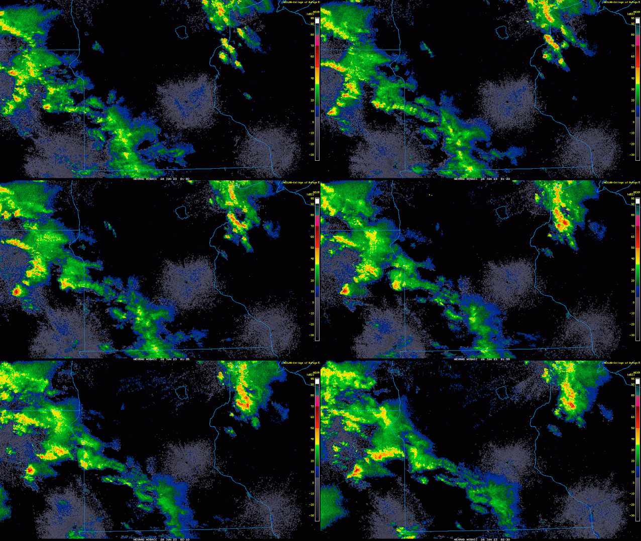
Looking at current radar, we do have a band of light to moderate showers tracking across western and into the far southwestern discussion area of central Minnesota as of around 9:40 PM CST. I am also monitoring some heavier showers with some embedded thunderstorm activity tracking across eastern South Dakota that will likely cross the Minnesota border within the next hour or two.
The downside for any of these thunderstorms is that they will be tracking into an area of relatively low CAPE/instability, and therefore will likely weaken by the time they reach central Minnesota. Regardless of the state of any leftover thunderstorms that make it into central Minnesota, I do expect enough lift to be in place to support relatively widespread rain showers overnight and into tomorrow morning. Of course any rain that we get is highly beneficial given the state of the drought that we are still in.
Lows tonight are likely going to be in the mid 60s across most of the discussion area given the widespread cloud cover and rain shower coverage expected later on tonight. Winds will be relatively light out of the SE at 5 to 10 mph early on then shifting to SW overnight as a weak cold front approaches from the northwest.
Heading into tomorrow, there is quite a bit of uncertainty with regards to expected high temperatures and precipitation throughout the day.
From a temperature perspective, there is quite a range in expected high temperatures amongst the global and mesoscale models. This is likely due to the varying coverages of morning rain showers that each model shows. The amount of warming is going to be dependent on how long the morning precipitation sticks around and how much (if any) sunshine areas will receive before the weak cold front passes through. Considering this, highs will range from the mid 70Fs to lower 80Fs. There will likely be slightly more humidity tomorrow with dew points in the lower to mid 60Fs, so not the most comfortable humidity levels but not oppressive.
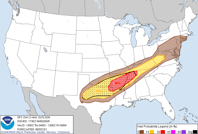
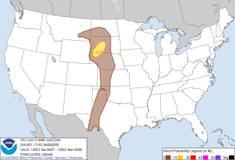
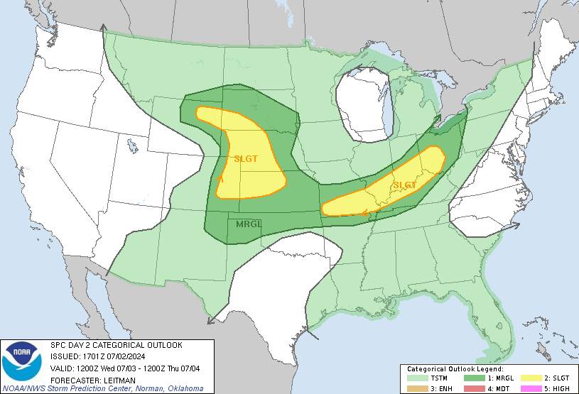
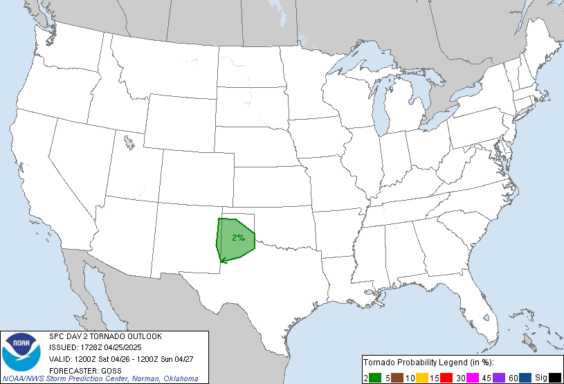
Fig 1. SPC outlook for Wednesday June 28th 2023.
The next topic of uncertainty is the storm chance for tomorrow. The Storm Prediction Center has issued a slight risk of severe weather for a decent portion of southeastern and eastern Minnesota for tomorrow, with a few of central Minnesota's eastern counties being in the slight risk area, including Wright, Sherburne, McLeod, Sibley, and Carver counties.
As stated before, a shortwave trough is expected to advect across Minnesota tomorrow. This shortwave will provide some decent ascent for any unstable air parcels across the area but the amount of instability we have is going to be dependent on that morning precipitation mentioned earlier. Most mesoscale models show the rain moving out late morning into the early afternoon, with the cold front tracking through mid to late afternoon. Interestly, most models do not show central Minnesota seeing any thunderstorm development tomorrow afternoon due to the cold front already passing through and the best instability being located well to the southeast. In all honesty, I do believe these models are on to something in terms of central Minnesota not seeing much of anything at all tomorrow afternoon. The lack of a stronger front will not likely be enough to force ascent in an atmosphere that is already stabilized from morning precipitation. I cannot rule out a few thunderstorms developing in the afternoon however if the cold front is slower than the mesoscale models show, therefore decided to keep a chance of storms around along with the possibility of a few being severe given the veering winds with height and steeper lapse rates. Large hail and damaging winds seem to be the main threats, but a tornado or two cannot be ruled out given the profile of the shear and the veering nature of the winds.
Any thunderstorms still around tomorrow evening will quickly move east and central Minnesota will be left with mostly cloudy skies through most of tomorrow night. This will allow lows to not drop too much, so another comfortable night looks to be in store, with light NW winds behind the cold front.
Thursday looks to be warm and a little humid with highs in the low to mid 80Fs and dew points in the low to mid 60Fs. There is a slight chance of a thunderstorm or two during the afternoon thanks to another cold front passing through but I do not expect anything widespread at this time.
I will have another forecast most likely tomorrow morning given the possibility of severe weather, so make sure to check back! Below is the general forecast for the central Minnesota area.


Comments
Post a Comment