June 16th Central Minnesota Weather Update
June 16th Central Minnesota Wx Update
by Aidan Cera

Good afternoon central Minnesota! I apologize for the lack of weather updates as of late. I started a new job this week and my schedule has sort have been all over the place but I think I am getting a more consistent schedule figured out with regards to posting blogs.
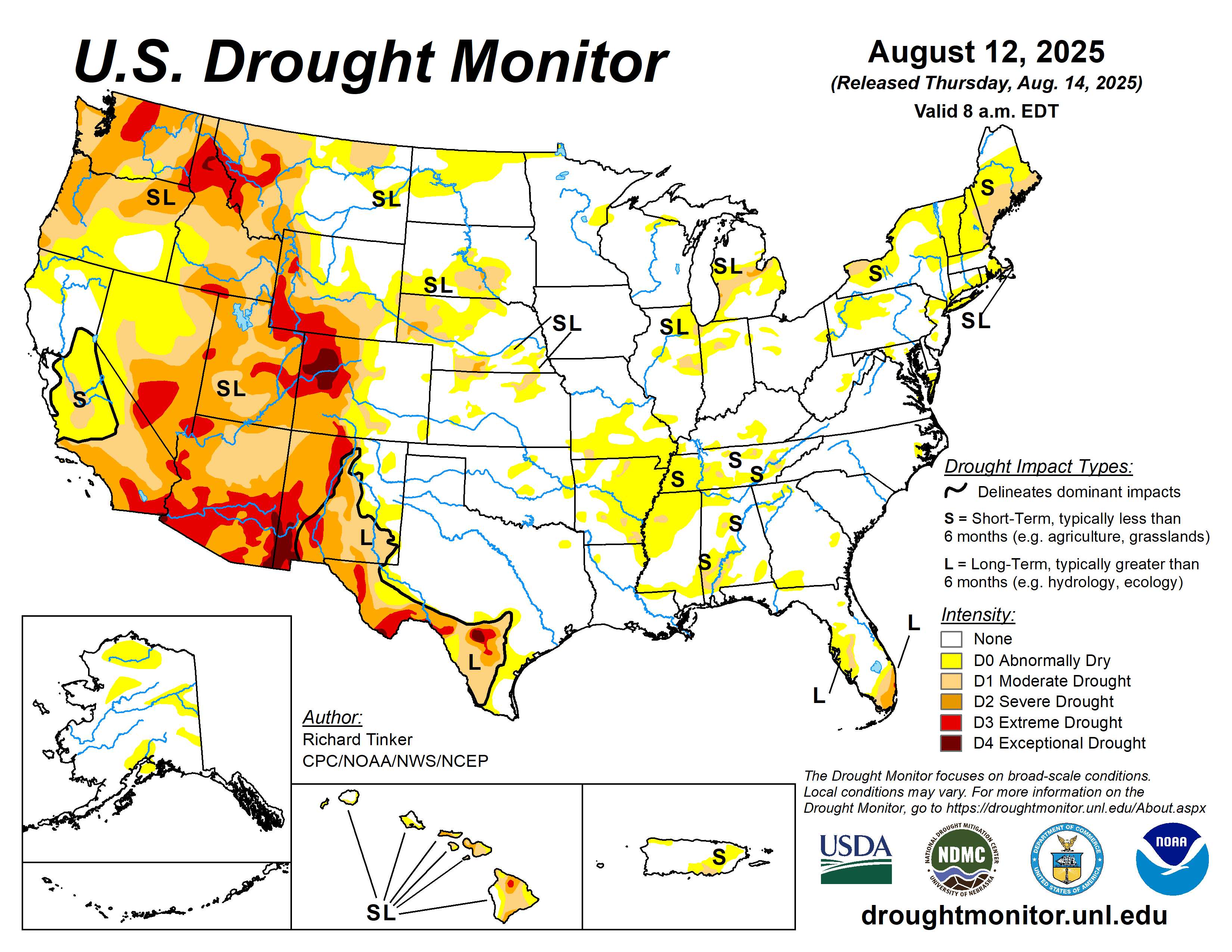
I want to start this discussion with a mention of where we stand in terms of this years drought. Much of the upper midwest is either in abnormally dry conditions or in a moderate drought as of June 13th. This is hardly surprising given the lack of an appreciable rainfall anywhere in the upper Midwest as a result of the consistent ridge of high pressure to our east. This has allowed a mostly northerly and easterly flow over the last several days, abundant sunshine and some of the most polluted air in the world to engulf us courtesy of the record breaking wildfire activity up in Canada.
Unfortunately through the forecast period, there are no real chances for much relief in terms of our drought in the next 2 weeks :(
While winds have led to some clearing of the skies in terms of smoke, we are still expected to have some hazy sunshine today which will help keep our temperatures down in the mid to upper 70Fs across central Minnesota. Winds will be light out of the southeast at around 5 to 10 mph.
As we head into tonight, clouds will likely increase a little bit due to an approaching upper level shortwave trough from the west. There is a very slight chance of a stray shower or thunderstorm, especially in our western counties but otherwise I'm not really expecting much in terms of precipitation. Lows are a bit tricky and are going to depend on just how much cloud coverage we get. I'm thinking we should get down into the mid to upper 50s across much of central Minnesota with a few low 60Fs possible too especially in our southwestern counties.
Figure 2. GFS 12Z June 16th forecast of 250mb wind speed.
As we head into Saturday, a positively tilted shortwave trough is expected to approach from the Dakota's. Positive Vorticity Advection (PVA) is expected to lead to some form of lift across western Minnesota tomorrow late morning into the afternoon. As a result showers and thunderstorms are expected to develop across western Minnesota and central Minnesota's western counties such as Kandiyohi, Douglas and Pope counties.
Environmental conditions are not going to be favorable for severe weather as lapse rates are not all that impressive, shear is relatively light to barely existent, therefore these storms are expected to be pulse type in nature and will likely be slow moving. This will result in hit or miss very heavy rainfall for whatever areas do end up seeing these thunderstorms develop. However, most of central Minnesota will likely remain dry as the better forcing is going to be to our west and most mesoscale models kills any convection off by the time it reaches Stearns, Meeker and Morrison counties. Given this, our areas that need rain the most will likely be left to dry once again...literally.
Highs tomorrow are expected to be more close to average with low to mid 80Fs expected across much of the forecast area. Winds will be a bit breezy at times, especially toward the afternoon when the remnant outflow boundary reaches our central and eastern counties. Wind speed wise I'm thinking 5 to 15 mph winds, so nothing significant but it will be noticeable.
Tomorrow Night showers and thunderstorms are expected to continue in our western counties and south of I-94 before daytime heating dissipated after sunset and we lose energy. Lows are expected to dip down to near 60F across most of the forecast area.
Sunday we will still likely be under the influence of the shortwave trough, so shower and thunderstorms chances will still be around. I think Sunday is our eastern counties' best chance to see any precipitation over the next couple days, but this is still no guarantee. So again, it looks like the counties that have lucked out rainfall wise this summer so far will luck out again, and the counties that have been left out will remain left out.
Next week looks hot and dry (surprise, surprise), as a high pressure ridge to the east continues to dominate our weather pattern and keeps any shortwave troughs stalled to our west. There is some talk of a break down of this ridge toward the end of the week which will allow a more zonal flow to build but I really do not see any reason to believe this as of right now given the pattern we have been in since early May. To sum up this discussion, no drought relief is really on the table for Stearns, Morrison and Benton counties in the foreseeable future.
Below is the general forecast for central Minnesota...


Comments
Post a Comment