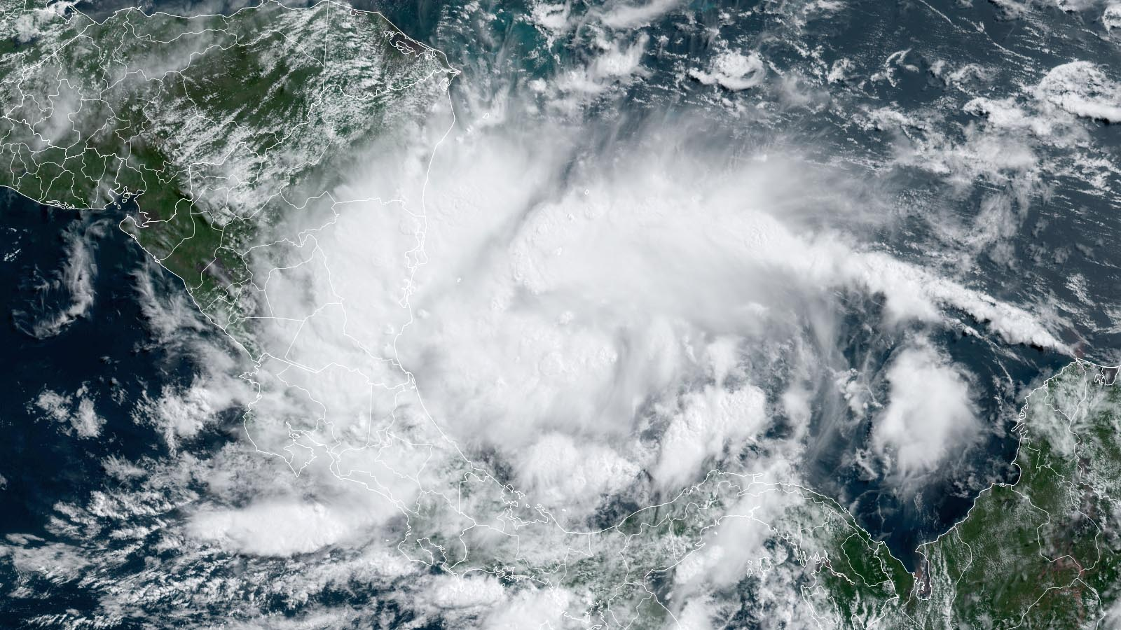
Florida Weather Arrives
06/15/24 Southeastern Wisconsin Weather Outlook
Aidan Cera

It has been a pleasant weekend so far across southeastern Wisconsin with a good deal of sunshine and highs topping out in the mid 70ºF's across most of the area. Dew points have also been pleasant with dew point temperatures in the mid 50ºF's. Clouds increased earlier today thanks to an approaching weather system off to our west. These pleasant temperatures are about to come to an abrupt end, with plenty of heat and humidity lasting through most of next week.

A few showers may make it into southeastern Wisconsin as we continue through the evening hours, but overall I think most of the area will remain dry thanks to lower dew points. There will be a good deal of clouds around tonight due to our proximity to the low pressure passing by, and therefore our temperatures will not drop that dramatically. Lows are expected to be in the low to mid 60ºF's with a S wind of about 10 mph or so.

Late tonight into tomorrow morning, there will be a chance for some folks to see a few showers or thunderstorms, especially our western counties. This is not a guarantee as storms may fizzle out by the time they get here, but it is something worth monitoring just in case. I do not expect any severe weather with these storms as forcing will be limited and the atmosphere will be capped thanks to building high pressure to our east. Thus any activity will be decaying as it tracks through.

Once our morning precipitation chance works its way out of our area, the main concern will become the building heat. A power dome of high pressure is forecast to strengthen off to our east and exert its presence across much of the central United States in terms of bringing very warm and very humid conditions up from the south. Highs on Sunday will depend on the amount of cloud cover associated with any morning rain activity. If the clouds clear our sooner, expect highs around 90ºF, even near the lake. If the clouds do not clear out as quick, highs may "only" get into the mid 80ºF's, which is still above long term average for summer here in southeastern Wisconsin. Dew points will also be tropical, with dews nearing 70ºF in all likelihood. Winds will be breezy (we are used to this at this point I think), being our of the SW at 10 to 15 mph.
Skies will clear out through the day tomorrow and tomorrow night, at least for the first half. We might need to monitor a chance for another decaying line of showers and thunderstorms late Sunday night into Monday morning, but there is not much model agreement with this taking place so chances are slight. Lows will only drop into the upper 60ºF's to lower 70ºF's with dew points remaining uncomfortable.
Oppressive heat and muggy air will be the theme of this next week and maybe even into the following weekend. Monday will feature highs nearing or exceeding 90ºF across all of southeastern Wisconsin. There may be a lake breeze later in the day that could kick off a stray shower or thunderstorm but this is far from a guarantee. Otherwise, expect mostly sunny skies on Monday.
Tuesday will be a carbon copy of Monday in all likelihood, with sunny skies, along with hot and humid conditions, with highs once again nearing 90ºF or exceeding it for our area. An afternoon lake breeze may be enough to fire off an afternoon shower or storm, but no widespread rain is to be expected at this time. The primary reason for the lack of any rain chances is that the stationary front will be well removed from our area (across northern Wisconsin), and high pressure will have a firm hold on us, resulting in a thick temperature inversion that will likely cause too much stability for any storm activity to develop. Lows Tuesday night will only drop into the lower 70ºF's across the area, so turn up the AC...you will need it to sleep.

Wednesday...you guessed it. Hot, humid, temperatures nearing 90ºF with dew points around 70ºF, except there may be a better chance at shower and storm activity toward later afternoon and evening as residual energy makes its way down from northern and central Wisconsin. I am not expecting any severe weather with these storms at this time, because once again, the activity will likely be weakening by the time it gets here.
Thursday through the end of next week, there is a lot of uncertainty with what weather conditions we will see. The Euro breaks down the ridge by this time which flushes out some of the heat and humidity across our area by end of the week. The GFS disagrees with this, and keeps the ridge over us through the beginning of the following week. Also, if the ridge breaks down end of next week, this will likely lead to more rain chances as well. Will need to keep an eye on trends and guidance in the coming days to see how long we will be dealing with the heat and if we get need to bump up the rain chances for the end of the week.
Overall, heat and humidity are the main stories of this forecast with a small storm chance here and there. Heat safety precautions such as those displayed above in the first figure will be important to practice during the next several days. Drink plenty of water if outside, don't leave folks in the car for even short periods of time unmonitored, and go to cooling shelters if no AC is available.
Summary Forecast
Saturday Night

Intervals of cloudiness. A slight chance of showers and thunderstorms late. Lows in the mid 60ºF's. Winds S at 10 mph. Chance of t-storms 30%.
Sunday

A few showers and t-storms possible in the morning, then decreasing clouds in the afternoon. Hot and humid. Highs in the mid 80ºF's to 90ºF. SW winds 10 to 15 mph. Chance of t-storms 40%.
Sunday Night

Partly cloudy skies. A stray shower or t-storm is possible late. Lows in the upper 60ºF's to lower 70ºF's. SW winds around 10 mph. Chance of t-storms 20%.
Monday

Hot and humid. Mostly sunny. A stray shower or t-storm possible in the afternoon. Highs in the lower 90ºF's. SW winds 10 to 15 mph. Chance of t-storms 20%.
Monday Night

Clear skies. Lows in the low 70ºF's.
Tuesday
Hot and humid. Mostly sunny. A stray shower or t-storm possible in the afternoon. Highs in the upper 80ºF's to lower 90ºF's. Chance of t-storms 20%.
Tuesday Night
Clear skies. Lows in the low 70ºF's.
Wednesday
Increasing clouds. T-storms developing during the afternoon. Highs in the upper 80ºF's. Chance of t-storms 40%.

Comments
Post a Comment