More Rain Ahead You Say?
April 23rd Weather Discussion
by Aidan Cera
Good evening central Minnesota! Aidan Cera here with a look ahead at the weather we can expect over the coming days. Fortunately, my schedule has been freeing up and will continue to do so more the immediate future so am looking to post more frequent updates.
Today was a fantastic spring day across central Minnesota, with temperatures nearing 60ºF for highs in some spots. There were a few passing showers during this afternoon as those cumulus clouds grew thick enough to produce precipitation, courtesy of daytime destabilization along with forcing from a cold front passing through. Most locations didn't pick up much to any rain at all, while some locations such as St. Cloud likely received near a tenth of an inch of rain. Nothing too noteworthy but rain is rain and any rain we get this time of year is good for us!
Speaking of rain, some out there have no doubt noticed we have a really good chance at seeing rain on Friday. There is very high confidence that all of central Minnesota is in for a nice soaking rain, but when will the rain arrive? How much will we see? Will be be enough to further make a dent in the drought for our northern counties? I dive into the details later in this discussion!
Jack Frost Isn't Ready to Say Goodbye Just Yet
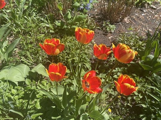
I do want to start by saying many of our counties in central Minnesota have a frost advisory tonight into tomorrow morning. This is due to skies clearing tonight as high pressure builds in and heat is able to radiate back into space, and winds calm. These are perfect conditions for widespread frost, so if you have any flowers planted that are sensitive to the cold, it would be a good bet to bring them inside for the night or cover them. This frost advisory includes Kandiyohi, Renville, Sibley, Meeker, Wright, McLeod, Carver and Hennepin counties and runs from 2 AM CST to 8AM CST.
Soak Up That Sun and Warmth!
Once we shake off that frost tomorrow morning, temperatures are expected to warm into the mid 50ºF's across our eastern and central counties, with highs approaching 60ºF in our western counties under plenty of sunshine. Winds will be generally light (5–10 mph) out of the SE during the morning shifting gradually more southerly as the day progresses with the high pressure system tracking eastward.
Wednesday night winds should gradually increase from the south as we begin feeling the influence of that storm system I briefly mentioned earlier that will affect us to end the workweek. As a result of those southerly winds, temperatures will be a good 10ºF warmer across much of central Minnesota on Thursday, with highs in the mid to upper 60ºF's and perhaps approaching 70ºF in our western counties. Still expecting plenty of sun, but clouds will likely begin to increase Thursday afternoon into the evening hours as upper level moisture works it's way overhead.
Here Comes the Rain
As of right now, I really do not see much of a chance for rain Thursday Night. Looking at the specifics, it appears there will be a decent bit of lingering dry air closer to the surface that will prevent rain from reaching the surface until Friday morning at least. Once we get into the day on Friday though, this dry air will be forced out as the low pressure system approaches from the southwest, bringing ample moisture northward at surface levels.
The bottom line: rain is likely Friday. This also will likely not be a hit or miss event like we saw today, but a widespread event that everyone gets a piece of. Model output regarding rain totals is still very much up in the air (no pun intended). The GFS model is more conservative, with most locations seeing about a half an inch of rain, while the ECMWF model shows totals approaching or exceeding 1" across all of central Minnesota. Taking a look at SREF plumes, we can definitely see that the GFS is on the lower end. The overall mean expected precipitation is around 1", so as things stand now, we are all set to receive a soaker.
Even more exciting, you may hear a couple claps of thunder with the rain Friday afternoon into the evening! There will likely be enough instability to allow sufficient height growth of the clouds to become lightning producers, but nothing severe by any means. The severe weather should remain well to our south and be a problem for our friends in Iowa, Wisconsin and Missouri to deal with.
I would say bring your umbrella(!) but there is one issue with that. Remember our last good rain? Where winds gusted over 40 mph at times? I'm sure many of you still have broken umbrella's in your closet as remembrance ( :( ). This will be a similar case, with winds blowing at 20–25 mph, gusting to well over 30 mph at times based off of current guidance. We can also infer that the strength of the low moving in from our southwest will provide enough of a pressure gradient to let those winds whip. So maybe ditching the umbrella and just getting out of the rain as soon as possible is the better bet.
Rain will continue Friday night and into Saturday morning before making its way northeast by the end of Satuday. Temperatures for Friday through Saturday morning will be hovering right around 50ºF for most of the area. 60ºF's make a comeback Saturday with generally cloudy skies as the influence from Fridays low remains and influence from yet another system begins moving in.
I cannot really speculate much about the next system quite yet as it is still a ways out. Models are struggling on where the low will track and every wobble could make the difference of rain moving into central Minnesota Sunday afternoon to rain not arriving until Monday to us seeing no rain at all. The no rain at all solution is not one that I feel comfortable going with at this point, so we can likely expect more rain to end the weekend and begin next week.
A Look at Our Drought Situation
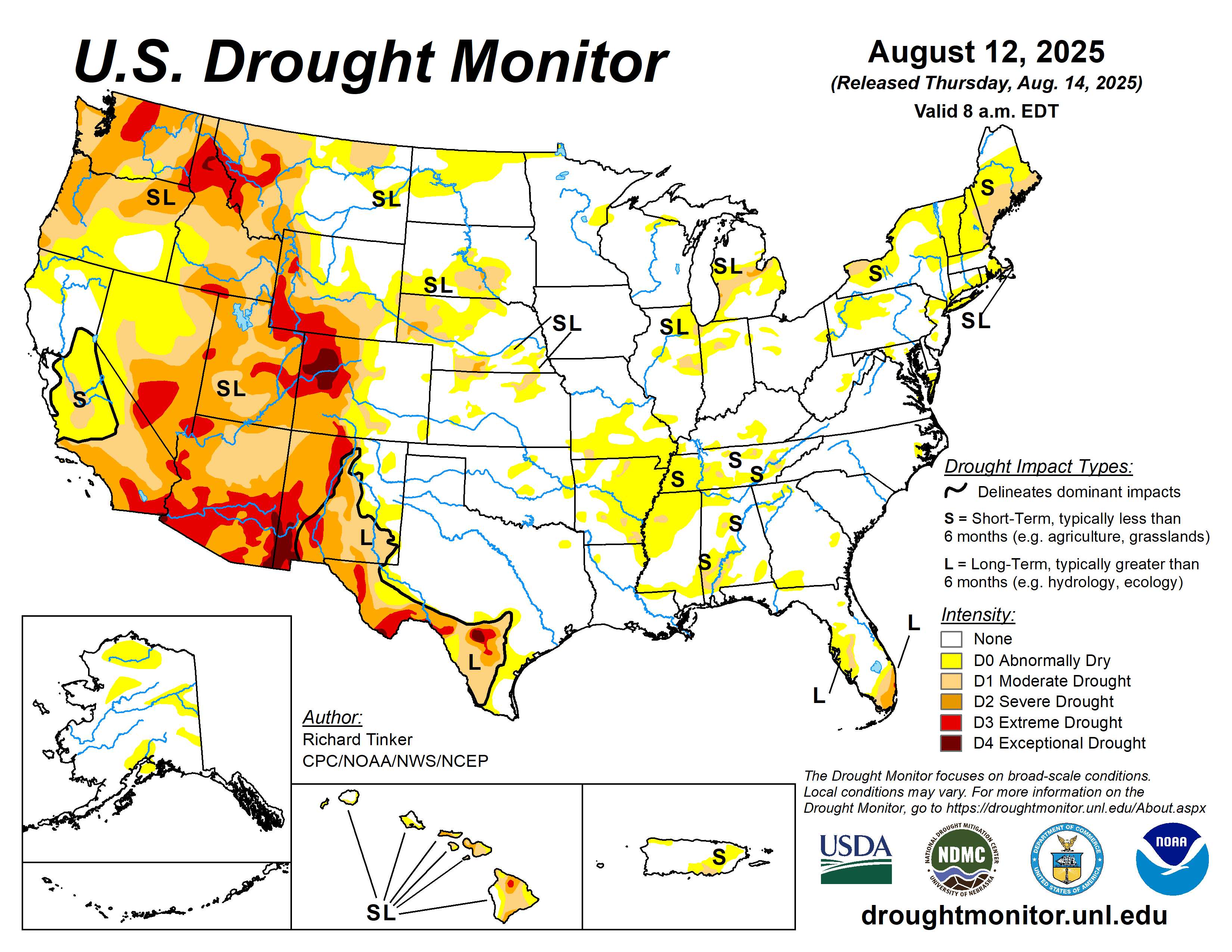
I mentioned the drought situation earlier in this discussion, and had I been frequently doing weather updates it would feel like I'm beating a dead horse at this point, but the drought is still holding on across portions of central Minnesota. This primarily includes Morrison, Todd, Wadena, Crow Wing and Cass counties, who are either in a moderate to severe drought. The good news with this next storm system is it looks like most of these areas should get a nice soaking rain that should at the very least slightly improve those drought conditions. It definitely will not likely eliminate them in their entirety, however.
Regardless, we will take any rain we can get. Many of us do not like to hear about rain in the forecast, but we have to remember our local farmers whose lives depend on moisture in the soil when planting season comes around, which is right around the corner.
That's all I have for now folks! Enjoy the fantastic weather over the next two days or so, get out and enjoy the sun and warmth before gloomy and rainy conditions arrive to end the week and continue through the weekend.


Comments
Post a Comment