August 23rd Central Minnesota Weather Discussion
August 23rd Central Minnesota Weather Discussion
By Aidan Cera

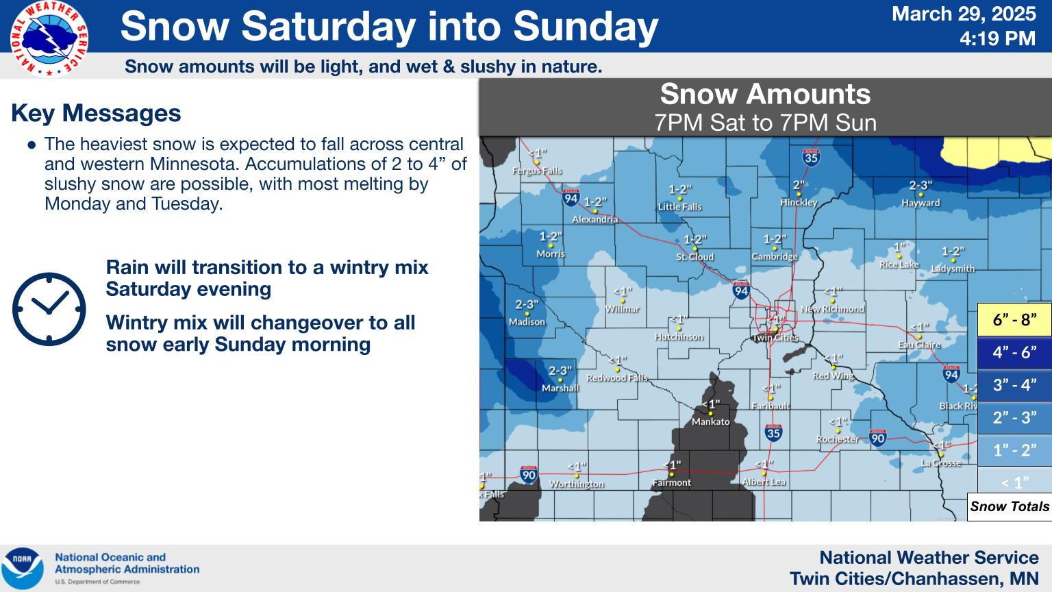
Fig. 1. National Weather Service Twin Cities weather graphic for the next few days weather.
Good evening central Minnesota! The last few days have been downright awful in terms of the heat and the humidity. Highs on Tuesday approached 100F with dew points approaching 80F. Today, the stratus deck held on much later in the day which prevented as much solar radiation from warning the surface. Thus, we were cooler in terms of temperatures but still extremely humid. Thankfully, this cooler weather has allowed the excessive heat warnings and heat advisories to expire as I send this post out.
Tonight, we are still looking at a downright warm and humid setup. Lows will likely only get down into the upper to mid 60F's with dew points in that range as well. This will likely lead more ptachy to widespread fog overnight through mid morning on Thursday. This fog will likely burn off mid morning and lead to a stratus deck that will ultimately prevent our highs from reaching extremely high levels that they reached on Tuesday. Not to downplay the fact that it still will be very hot and humid tomorrow, with highs ranging from the mid to upper 80F's for most of central Minnesota, with some areas potentially exceeding 90F.
Heading into Thursday Night and Friday, I will be monitoring a shortwave trough currently over British Columbia advecting across southern Canada north of North Dakota and Minnesota. The associated positive vorticity advection (increase in vorticity leading to more spin and ascent in the atmosphere) will be a focus of shower and thunderstorm activity, especially across southern Canada and northern Minnesota. While I do not think we will see anything in terms of precipitation from this shortwave, any nudge of the associated vorticity advection southward could slightly up the chance of shower and thunderstorm activity across central Minnesota. The Storm Prediction Center has issued a marginal risk of severe weather for our area, but I do not really think there is much reason to go into the threat much given the very small chance of anything at all as of right now. If there are any updates with this potential I will be sure to put an update out covering that change of forecast.
If there is any true chance of precipitation, it will be late Thursday Night into Friday late morning. Chances will likely decrease by early afternoon.
Heading into this weekend, we finally will see the weakening of the stout ridge of high pressure to our south thanks to the associated cold front with the passing shortwave. Cooler and drier air from Canada will have a chance to spread across Minnesota heading into Saturday, with much more pleasant high temperatures in the upper 70F's to lower 80F's. There will also be plenty of sunshine!
Sunday looks similar, with more sun than clouds and highs in the upper 70F's to lower 80F's. I am beginning to see some indication of returning rain chances heading into Sunday Night and early Monday as another shortwave trough advects southeastward down from Canada. While details are still a bit fuzzy on the amplitude of the trough and whether we will have enough moisture to support precipitation given the northwestern drier Canadian flow, it is a chance that bears watching over the next few days.
In summary, heat continues the next 2 days or so before a cold front rolls through Friday bringing more seasonal and much more comfortably air into the area just in time for the weekend.
Have a fantastic day tomorrow central Minnesota. Stay cool!!!


Comments
Post a Comment