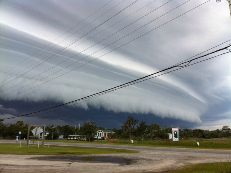
This weekend and Memorial Day for Minnesota
Saturday, Sunday and Memorial Day Minnesota forecast
Severe thunderstorms expected across Minnesota this weekend
An enhanced risk of severe thunderstorms is currently in place for much of Minnesota for Sunday and Memorial Day. A powerful negatively tilted trough is currently digging into the western portion of the United States and will provide a favorable environment for severe thunderstorm development.
Rest of Saturday
The first round of precipitation has exited Minnesota for the most part with a few lingering showers in far southeast Minnesota. The remainder of the day looks to be dry thanks to a thermal ridge propagating eastward behind this mornings shortwave.
Looking ahead to tonight, most of central Minnesota should stay dry. The far western part of the state could see some thunderstorm activity track in from the Dakota's. Thanks to a powerful low level jet, ample instability and moisture, a threat for some severe thunderstorms exists. Large hail and damaging winds will be the primary concern for far western counties but most of the state should remain dry.
Sunday
An enhanced risk of severe thunderstorms is in place for southwestern and central Minnesota, with major cities such as St Cloud, Wilmar and Marshall. A slight risk of severe weather has been issued for much of the remainder of Minnesota and includes major cities such as Duluth, Mankato, Rochester, Minneapolis and Saint Paul.
As Sunday progresses, the upper level jet will begin to nudge northeastward into Minnesota providing a favorable environment for low level ascent due to upper level divergence. Winds will be out of the south and southwest advecting very warm temperatures and ample moisture northward. A warm front will also be located across Minnesota and western Wisconsin. However, strong capping will be present through most of the day preventing thunderstorm development.
The atmospheric sounding above shows a strong cap indicating by the red environmental temperature line being to the right of the purple dotted line, or temperature of the rising air. This created a sinking motion in the atmosphere and is quite deep in this sounding, so thunderstorm activity should be limited through much of the day.
Heading into Sunday night, the low level jet builds back in, along with ample instability, convective available potential energy (CAPE) and moisture. These ingredients will likely lead in a severe weather outbreak across parts of central Minnesota in the late evening and overnight. Hodographs are rather curved in the lower levels due to the strong low level jet so supercell development is likely.
Below are the chances for each type of severe weather provided by the Storm Prediction Center (SPC).
Damaging straight line winds will be the primary concern for central Minnesota, with large hail and tornadoes also possible. Again, this looks to be a later in the evening and overnight type event according to the latest mesoscale and global models.
Memorial Day Monday
Memorial Day looks especially dicey for a large portion of Minnesota. The first half of the day looks dry. Perhaps some leftover thunderstorms may be around central Minnesota during the morning, but this should track northeast with time. Heading into the afternoon, most models agree that the cap should begin to erode.
The sounding above from the EURO model is quite concerning. It shows a small cap and some convective inhibition from the 850 hPA to 650 hPa level but ample CAPE above this cap. The hodograph on the upper right is rather curved and the shear value is high at roughly 60 kts due to the jet streak that is expected to be over Minnesota. This loaded gun sounding is supportive of explosive supercell development during the afternoon for most of central and southwestern Minnesota.
Again, this will be a late afternoon and evening event. Severe weather is likely during this time, so special attention should be payed to the weather for the central Minnesota area in the coming days. I will have more updates on this event tomorrow so stay tuned.
For more information regarding this event, visit the following sites.


Comments
Post a Comment