End of the Week Forecast

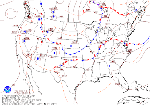
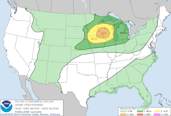
Looking to the end of the week by Aidan Cera Rest of Wednesday After a few morning showers and thunderstorms, southeast Wisconsin has dried out, with some fluffy cumulus clouds passing overhead. Looking at a surface analysis map from earlier this afternoon, we can see that there is a cold front draped across southeastern Wisconsin. This cold front is expected to continue eastward through the remainder of today and into tonight, with northwesterly flow behind it. This northwest flow is advecting cooler and drier air yet there is still some forcing and moisture left in the air behind the front. As a positively tilted shortwave trough propagates southward, some shower and perhaps a few thunderstorms may develop across western Wisconsin and track eastward into southeastern Wisconsin later tonight. These showers/storms will be rather hit or miss and not everybody is going to see precipitation tonight. None of these storms are expected to be severe...
